Map Skills
Parts of a Map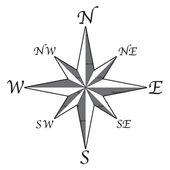
The compass rose is used on maps to orient you on the directions.
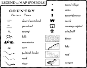
The legend tells you what all the symbols on the map mean.
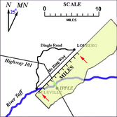
The scale bar allows you to determine distances on the map.
|
Types of Maps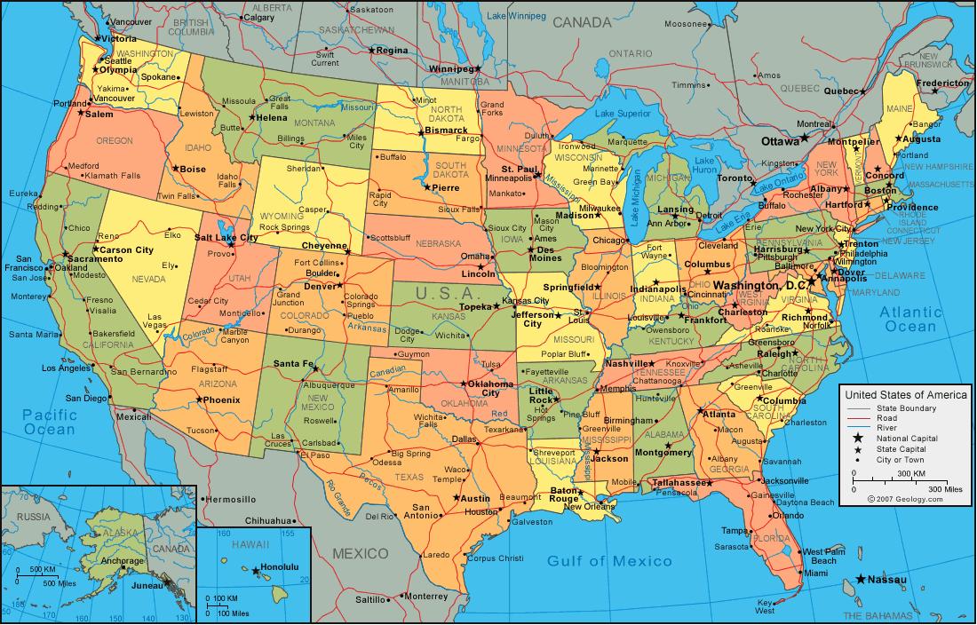
Political maps are used to show county, state, or country boundaries. Political maps sometimes show roads and highways.
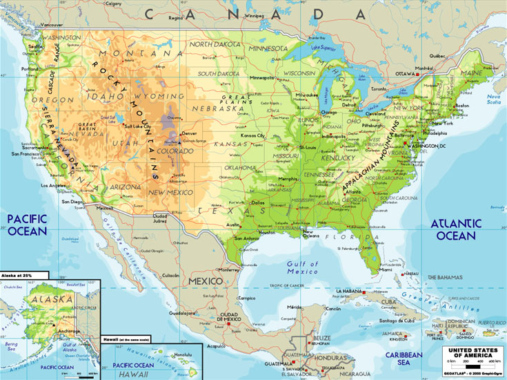
Physical maps typically show what land features are found in an area. Things like mountains and rivers are shown.
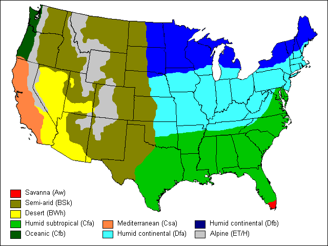
Climate maps give you an idea of the type of climate that can be found in an area.
|
Latitude and Longitude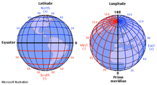
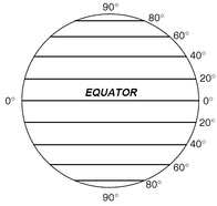
Lines of latitude.....think ladder - like the rungs of a ladder. The Equator is an imaginary line at zero degrees latitude. It separates our earth into the Northern Hemisphere and Southern Hemisphere.
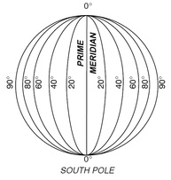
The Prime Meridian is found at zero degrees.
|
